
Project Details / 项目资讯
- GitHub URL / GitHub 链接: Cloud-Shadow-Detection-Based-on-Spectral-Indices
Description / 描述
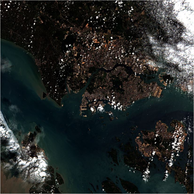
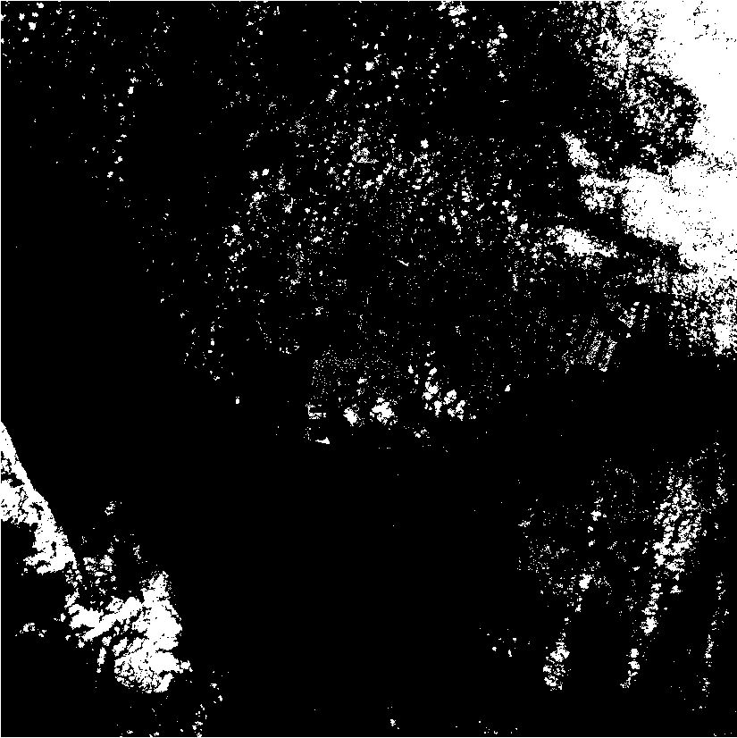
The Cloud Index (CI) and Cloud Shadow Index (CSI) are simple indices which are calculated using the intensity values of the visible and infrared bands of multispectral/hyperspectral remote sensing images for the purposes of automatic cloud and cloud shadow detection from remote sensing images respectively via automatic thresholding using various tunable parameters. The two images are the original multispectral remote sensing image, and the cloud mask image (obtained using thresholding of the CI and CSI feature maps) (from left to right respectively).
云指数(CI)和云影指数(CSI)是使用多光谱/高光谱遥感图像的可见光和红外波段的强度值进行计算的简单指数。 它们的主要目的是通过使用各种可调参数的自动阈值来从遥感图像中自动检测云和云影。 这两张图像分别是原始的多光谱遥感图像和云掩膜图像(通过对 CI 和 CSI 特征图的阈值处理取得)(从左到右)。
Reference
[1] Zhai, H., Zhang, H., Zhang, L., & Li, P. (2018). Cloud/shadow detection based on spectral indices for multi/hyperspectral optical remote sensing imagery. ISPRS journal of photogrammetry and remote sensing, 144, 235-253.