
Project Details / 项目资讯
- Company / 公司:

- GitHub URL / GitHub 链接: PanTex-Index
Description / 描述
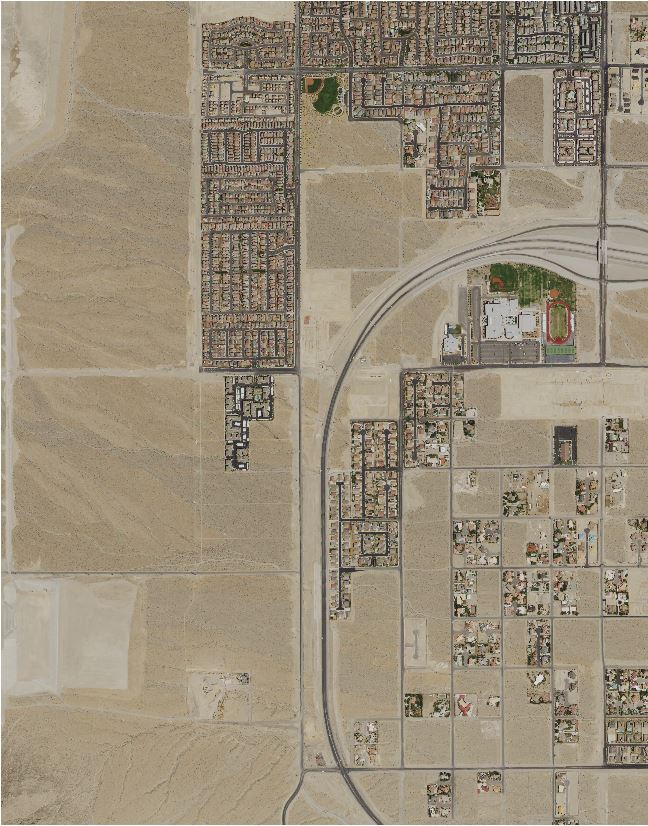
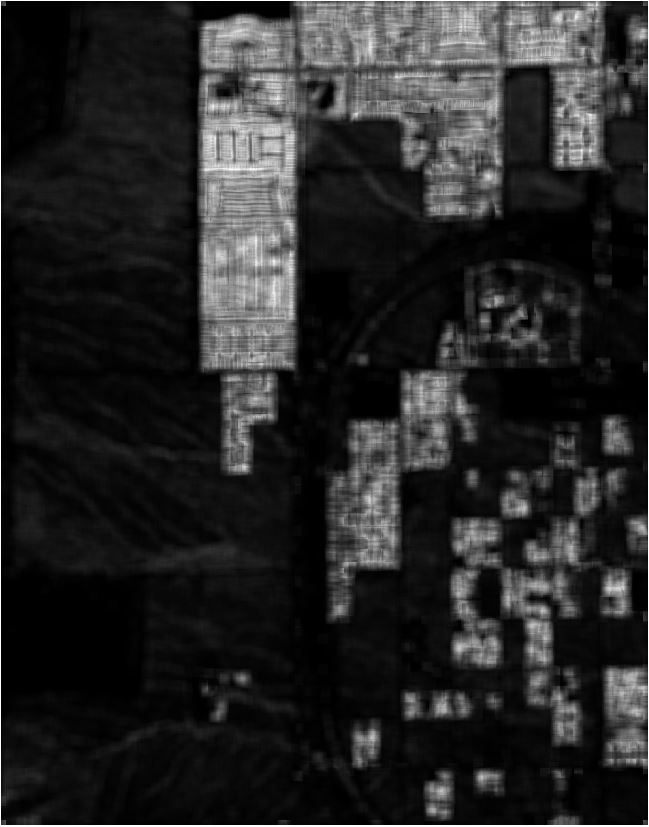
The PanTex index is one of the candidate indices which has been proposed in the academia for the detection of built-up areas from optical satellite images. It utilizes fuzzy rule-based composition of anisotropic textural co-occurrence measures derived from the satellite images by the gray-level co-occurrence matrix (GLCM) to indicate the strength of presence of built-up areas, which is named by the authors as the PanTex index. The two images shown on this page are the original remote sensing image, and the PanTex index image (from left to right respsectively).
PanTex指数是学术界提出的候选指数之一,用于从光学卫星图像中检测建筑区域。 它利用基于模糊规则的各向异性纹理共现测量方法,而这些方法是根据卫星图像通过灰度共现矩阵(GLCM)派生出来的。 它标示着建筑区域存在的强度,并且被原创者命名为PanTex指数。 此页面展示的两幅图像分别是原始的遥感图像和 PanTex 指数图像(从左到右)。
Reference
[1] Pesaresi, M., Gerhardinger, A., & Kayitakire, F. (2008). A robust built-up area presence index by anisotropic rotation-invariant textural measure. IEEE Journal of selected topics in applied earth observations and remote sensing, 1(3), 180-192.